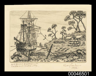
Shell Australia : Bicentenary 1770 - 1970 : His Majesty's Bark ENDEAVOUR
Maker
Shell Australia Limited
Date1970
Object number00046910
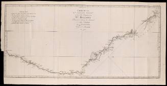
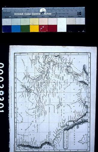
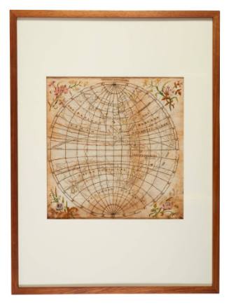
NameMap
MediumPaper
DimensionsOverall: 733 x 834 x 1 mm, 49.77 g (open)
ClassificationsMaps, charts and plans
Credit LineANMM Collection Gift from Margaret Scott
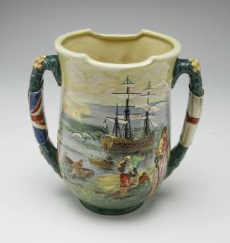
DescriptionA fold out map produced by the Shell Oil company commemorating the bicentennial of Captain Cook's journey to Australia aboard the ENDEAVOUR.
One side of the map has a short history of Australia, a guide to the State's floral emblems, a list of placed named by Captain Cook, statistics and maps of the world from the sixteenth through to the eighteenth century. The reverse side has a large colour map of Australia. This map is designed to be used in conjunction with a record (00046909) giving interpretive information relating to each numbered point.HistoryJames Cook was born at Marton, North Yorkshire on 27 October 1728. By the age of 20 he was serving an apprenticeship in the port of Whitby, gaining skills in navigation and mathematics under the coal shipper John Walker. In 1755 Cook joined the Royal Navy and was made master's mate on HMS EAGLE. Soon after he was promoted to Master of the PEMBROKE and conducted survey work on the St Lawrence River in Quebec, and the coasts of Nova Scotia and Newfoundland.
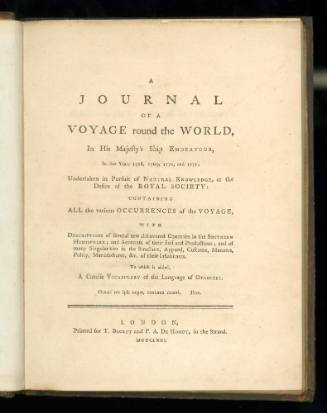
In 1768 Cook was chosen by the Admiralty to conduct an expedition to the Pacific in command of HMB ENDEAVOUR, to view the Transit of Venus and to locate the Great South Land. It was during this voyage that Cook surveyed the east coast of Australia and claimed it for King George III.
He undertook two more voyages to the Pacific for the Admiralty, the second in command of RESOLUTION and ADVENTURE with the hope of still finding the Great South Land and the third in command of RESOLUTION and DISCOVERY to locate the elusive Northwest Passage. It was during this third voyage that Cook visited Hawaii, then called the Sandwich Islands and was killed on 14 February 1779 in an altercation with the local Hawaiians.SignificanceThe production of Cook memorabilia two centuries after his death attests to the continuing public fascination with the life and career of James Cook. This map joins the large body of commemorative material and souvenirs associated with the famous explorer.