
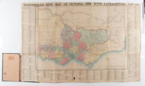

Whitehead's New Map of Victoria with Alphabetical Key
Publisher
E Whitehead & Co
Date1868
Object number00048282
NameMap
MediumInk on paper
DimensionsOverall: 470 x 730 x 5 mm
ClassificationsMaps, charts and plans
Credit LineANMM Collection
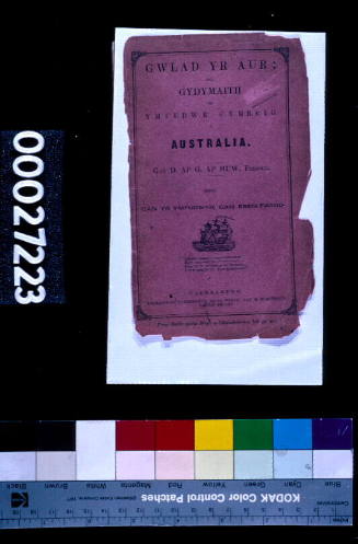
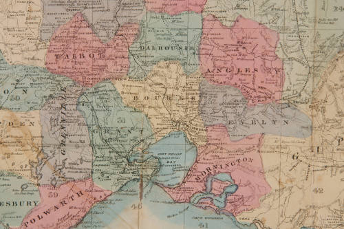
DescriptionThis folding map backed on linen provided a practical geographical pocket guide for immigrants arriving in the new colony of Victoria, established in 1851. Following the discovery of gold near Ballarat in 1851, the population of Victoria grew from 76,000 to 540,000 in a decade as gold fever attracted people from around the world. This map details cities and towns, districts and rivers.
HistoryThe Victorian gold rush attracted new colonists to the state from all over the world and within a decade of the official proclamation of the colony, Victoria's population had grown to more than 500,000 - making it the most populated colony in Australia. Whitehead's 1868 folding map of Victoria shows railway lines between Melbourne, Geelong and Ballarat and from Melbourne to Echuca - the railhead for the Murray River transport system servicing the inland districts of Victoria and New South Wales.
The map is also divided into counties and districts. Counties are part of the lands administration division and existed as cadastral units for identifying and locating land. Victoria has 37 counties and these were progressively gazetted between 1849 and 1871. Many of the earliest counties were named after British politicians.
SignificanceConveniently portable in size, folding maps became popular with the increasingly literate public of the 19th century. Victoria was the only permanent British colony in Australia to be settled without the permission of the British authorities, and Whitehead's map is significant as a representation of land acquisition and management in the formative period of the colony of Victoria.
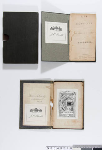
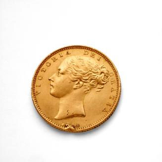
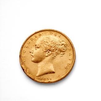
c 1853