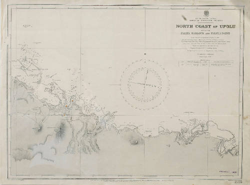
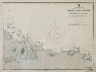
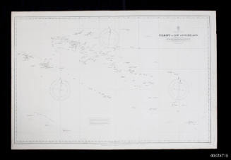
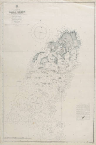
Admiralty Chart No 1339: South Pacific Ocean, Samoa or Navigator Islands: north coast of Upolu between Falifa Harbour and Falula Point
Publisher
Hydrographic Office of the Admiralty
Engraver
Davies & Company
Date1920
Object number00028698
NameChart
MediumInk on paper
DimensionsOverall: 512 x 689 mm, 0.05 kg
Display Dimensions: 511 x 688 mm
Display Dimensions: 511 x 688 mm
ClassificationsMaps, charts and plans
Credit LineANMM Collection Gift from Alec Altman
Hydrographic Office of the Admiralty
1920
Hydrographic Office of the Admiralty
1894
Hydrographic Office of the Admiralty
1908
Hydrographic Office of the Admiralty
1920
Hydrographic Office of the Admiralty
1882
Hydrographic Office of the Admiralty
1919
Hydrographic Office of the Admiralty
1872
Hydrographic Office of the Admiralty
1947
Hydrographic Office of the Admiralty
1907
Hydrographic Office of the Admiralty
1884
Hydrographic Office of the Admiralty
1898