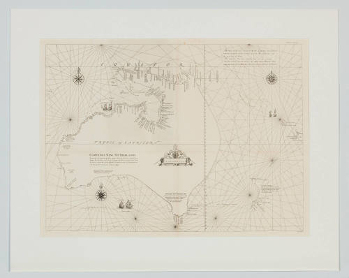
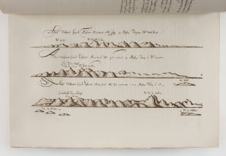
Van Dieman's Land, drawn up after Swart's facimile of the official map made under Abel Janszoon Tasman's direction of his voyages to discovery of 1642 and 1644
Maker
L van der Vegtedal
Date1898
Object number00008645
NameMap
MediumInk on paper
DimensionsOverall: 750 x 910 mm
Display Dimensions: 913 x 748 mm
Display Dimensions: 913 x 748 mm
ClassificationsMaps, charts and plans
Credit LineANMM Collection
DescriptionThis map is from the book `Abel Tasman's journal of his discovery of Van Dieman's Land and New Zealand in 1642...' by Abel Janszoon Tasman, and edited by Jan Ernst Heeres.
The map was drawn up after Swart's facsimile (1860) of the official map made under Abel Janszoon Tasman's direction of his voyages to discovery of 1642 and 1644, with corrections founded on contemporary documents, text translated into English, printed map with translated English notations and some hand colouring, on parchment paper.
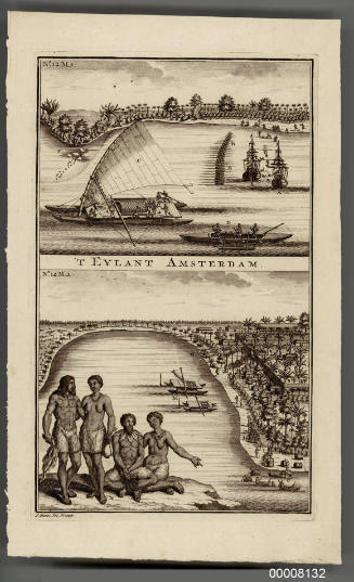
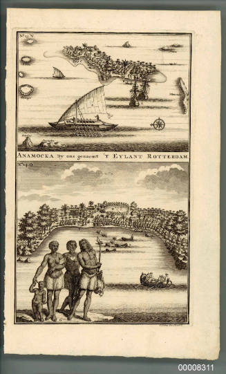
HistoryBorn in 1603 and dying on the 10th of October, 1659, Abel Tasman was a Dutch seafarer, explorer and merchant. He is best known for his voyages of 1642 and 1644 in the service of the Dutch East India Company, during which time his expeditioners became the first known Europeans to reach the islands of Van Diemen's Land (now Tasmania) and New Zealand. In 1643 he also became the first European to sight the Fiji Islands. Together with his navigator Visscher, and his Merchant Gilsemans he was able to map substantial portions of Australia, New Zealand and the Pacific Islands.
In August 1642, Tasman was sent in command of an expedition whose purpose was to discover the 'Great Southern Land' (Australia), which was believed to be in the south Pacific but which had not yet been properly explored by Europeans (despite a number of European ships having been wrecked off its West coast while trying to reach Batavia). His expedition consisted of two ships: the 120 ton jacht HEEMSKERCK and the fluit ZEEHAEN (both completed in 1639 for use by the VOC's Amsterdam Chambers).
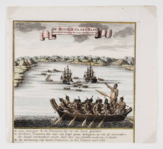
On 13 December Tasman's expedition sighted land on the north-west coast of the South Island, New Zealand. Tasman named this new land 'Staten Landt' wrongly believing it to be connected to an island (Staten Island, Argentina) off the southern tip of South America. He then proceeded north and then east and it was here that one of his ships was attacked by a group of Maori in waka (a Maori canoe). Four of Tasman's crew were killed in the confrontation, earning the bay the title of 'Murderers Bay' (although it is now called 'Golden Bay'). Nevertheless, the expedition went on, arriving back in Batavia on the 15th of June, 1643.
Tasman's navigational and exploratorial errors were numerous and, from the point of view of the Dutch East India Company, his voyages were largely a disappointment: he had neither found a promising area for trade nor a useful new shipping route. For over a century, until the era of James Cook, Tasmania and New Zealand were not visited by Europeans (mainland Australia was visited, but usually only by accident).
SignificanceAbel Tasman was an extraordinary seaman. Charged with the task of exploring the unknown Southern waters of the globe, without charts or accurate navigational equipment, he managed to not only record large areas of the Australian, and New Zealand coast line but also to return safely.
February 1938
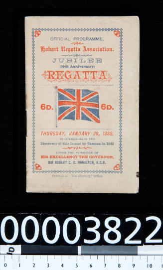
Hobart Regatta Association
26 January 1888
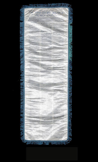
21 January 1913