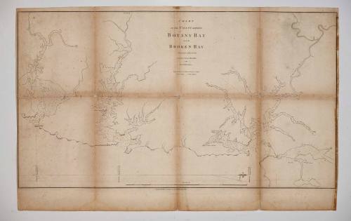
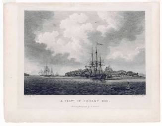
Chart of the coast between Botany Bay and Broken Bay surveyed 1788-1789
Publisher
John Stockdale
(1750 - 1814)
Maker
Captain John Hunter
(Scottish, 1737 - 1821)
Date1788-1789
Object number00046067
NameChart
MediumInk on paper
DimensionsOverall (sight): 410 x 725 mm
Overall (frame): 633 x 930 x 36 mm
Overall (frame): 633 x 930 x 36 mm
ClassificationsMaps, charts and plans
Credit LineANMM Collection Donated through the Australian Government's Cultural Gifts Program by Gaye Hart AM in memory of JJ Wood
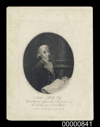
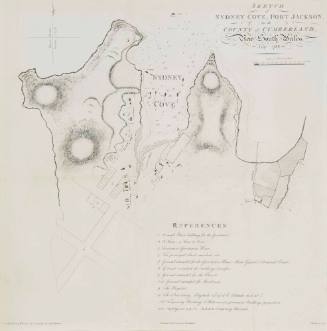
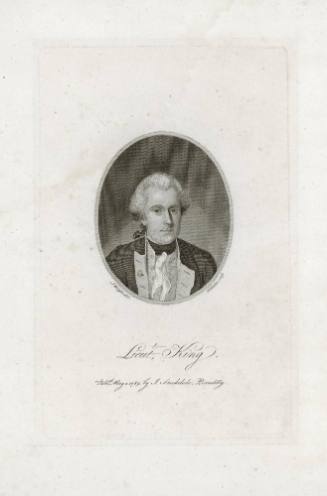
DescriptionThis 1790 chart illustrated the extensive waterways and secure anchorages available in Port Jackson, Botany Bay and Broken Bay. In an age of sail good harbours were vital to settlement and the first four governors of New South Wales (Phillip, Hunter, King and Bligh) were all naval officers.HistoryJohn Hunter was the second Governor of the colony of New South Wales. He was born in Scotland in 1737 and established a career in the Royal Navy, becoming a midshipman in 1755 and a lieutenant in 1780. Hunter was on board HMS SIRIUS when it sailed to the colony of New South Wales as part of the First Fleet. After returning to England in 1793 he applied for the position of Governor after Arthur Phillip resigned and was appointed in 1794. Hunter only arrived in the colony on 7 September 1795.
Hunter's arrival was met with difficult challenges. In the two years following Governor Phillip's resignation and Hunter's appointment, the colonial military had exercised ruling control and used their authority to exploit trade, convict labour, land sales and the court system. Hunter faced serious opposition when he attempted to challenge the military’s power. The British Government recalled him from the position in November 1799 and on return to England Hunter was required to defend his character and actions. He was eventually cleared of any fault.
SignificanceThe European settlement of Australia began with the arrival of the First Fleet in New South Wales in 1788 and surveying and charting the coast and waterways was an important initial step in exploring the new colony. Maps and charts provided an essential geographic record which greatly helped the commercial development of Port Jackson throughout its history.

Hydrographic Office of the Admiralty
1942
Australian Section Imperial General Staff
c 1940
Australian Section Imperial General Staff
1936