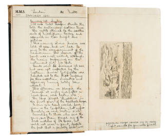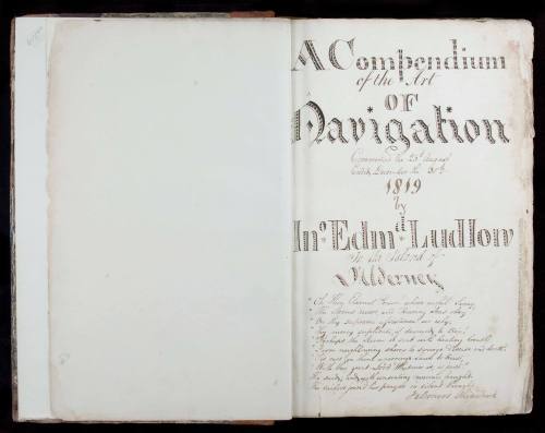


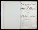
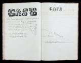
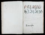

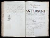


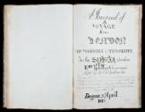

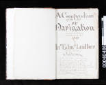
A Compendium of the Art of Navigation
Author
John Edmund Ludlow
Date1819
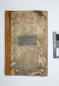
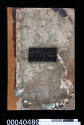
Object number00040486
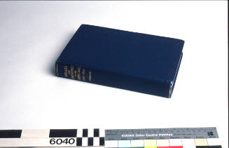
NameFolio
MediumPaper, ink, leather
DimensionsOverall: 373 × 246 × 25 mm
Copyright© John Edmund Ludlow
ClassificationsBooks and journals
Credit LineANMM Collection
Collections
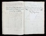
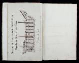
DescriptionA Compendium of the Art of Navigation, 1819. Written and beautifully illustrated by mariner John Ludlow, the manuscript is indicative of navigation methods used at sea in the early years of the 19th century. The compendium was designed to teach aspiring navigators the important principles for finding position at sea.
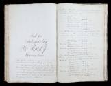
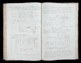
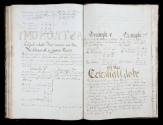
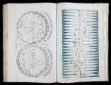
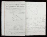
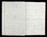
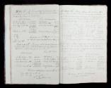
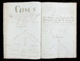
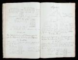
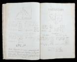
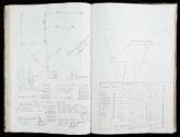
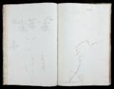
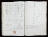
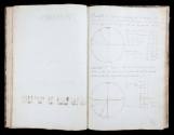
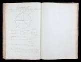
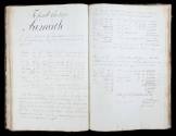
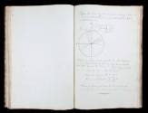
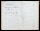
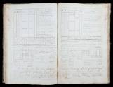
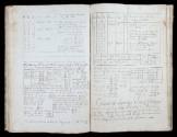
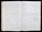
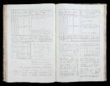
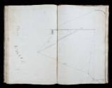
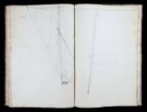
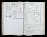
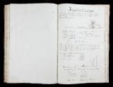
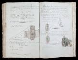
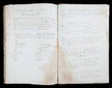
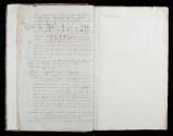
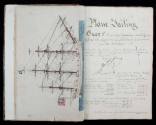
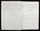
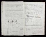
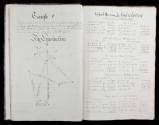
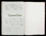
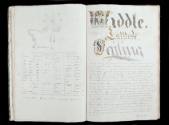
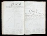
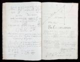
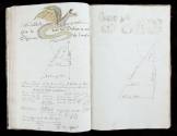
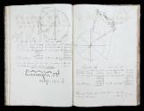
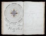
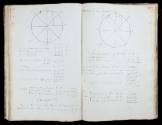
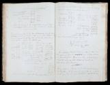
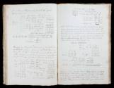
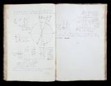
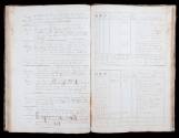
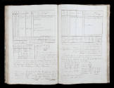
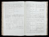
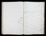
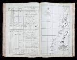
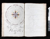
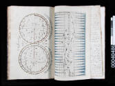
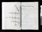
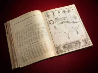
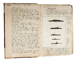
Entries in the compendium indicate that John Ludlow served as mate aboard the SYLVIA on a voyage from London to Tenerife between April and June 1813, and was aboard the revenue cruiser ADDER in January 1820. A loose handbill inside the title page advertises Ludlows navigation classes.HistoryThis manuscript by John Ludlow consists of 160 pages with eight full-page coloured pen drawings of ships, charts, a compass, planispheres and numerous geometric and perspective ink drawings. The major part of the manuscript is designed as an illustrative aid for solving navigational problems common to sailors in the early 19th century. Topics covered include - Compass points, deducing the time by celestial observation, tidal prediction, making a chart, plane sailing, calculating a ship's position from observation of a coastal feature of known height, midlatitude sailing, how to maintain a log, etc.
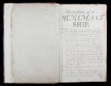
The manuscript also includes description of the parts of a merchant sailing ship, and the log kept by Ludlow while Mate of the SYLVIA a voyage from England to the Canary Islands. The text includes worked examples of common navigation calculations and is generally extremely informative on daily routines for establishing position at sea.
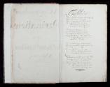
A poem on the title page and a generic letter given to graduates of Ludlow's classes suggests the author held strong religious beliefs. The main headings are:
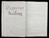
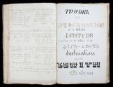
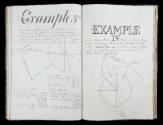
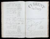
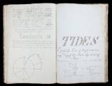
Plane sailing (p.9), Traverse sailing (p.14), Middle Latitude Sailing (p.19), Mercator's sailing (p.25), Oblique Sailing (p.34), Current Sailing (p.37), Tides (p.38), Navigation by Examples (p.40), To Work an Observation to Find Latitude (p.41), Method of Finding Latitude by Double Altitudes (p.51), Journal of a Voyage from London to Teneriffe
(pp.55 - 64), Rule for Determining the Rate of chronometers (p.68), Example of How to Make a Chart (p.72), Heights and Distances (p.73), Description of the Celestial Globe (p.76), To Find the Apparent Time and thereby Regulate a Watch (p.80), Method of Calculating Shot in Piles (p. 82).
SignificanceThe manuscript is a fascinating treatise on navigation produced at a time when chronometers were becoming more readily available to the merchant sailors. Written in the early years of the 19th century, the manuscript is an example of contemporary navigation practices as used on voyages to Australia and around the coast.
George Frederick Edmund Knox
8 February 1931- 31 December 1931