Chart of the coast of Antartica produced by the US Exploring Expedition between 1838 and 1842
Date1915
Object number00044632
NameChart
MediumPaper
DimensionsImage: 655 x 945 mm
Display dimensions: 960 x 1235 mm
ClassificationsMaps, charts and plans
Credit LinePresented to ANMM by George W. Bush President of the United States of America on the occasion of his visit to Australia. September 2007
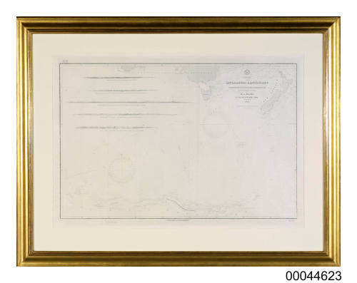
DescriptionA lithographic nautical chart of the coast of Antarctica produced from the hydrographic survey of the United States Exploring Expedition between 1838 and 1842. This chart was presented to Australian National Maritime Museum by George W. Bush, President of the United States of America on the occasion of his visit to Australia in September 2007.
The chart is titled 'Chart of the Antarctic Continent Shewing the Icy Barrier attached to it. Discovered by the U.S. Ex. Ex. Charles Wilkes. Esq. Commander 1840' and was originally published in January 1875 at the Hydrographic Office
under the authority of the Secretary of the Navy in Washington.
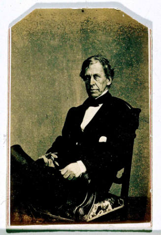
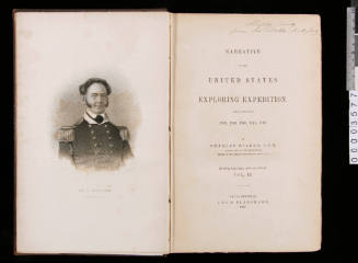
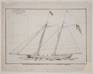
HistoryThe US Exploring Expedition was the first government funded scientific hydrographic survey undertaken by the United States. The four-year voyage from 1838-1842 was lead by Lieutenant Charles Wilkes and comprised a naval squadron of six vessel. The flagship of the fleet was the sloop of war USS VINCENNES.SignificancePresented to Australian National Maritime Museum by George W. Bush, President of the United States of America, on the occasion of his visit to Australia in September 2007.