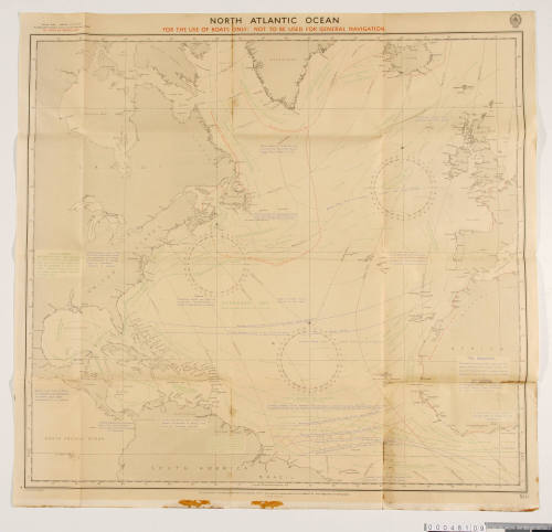
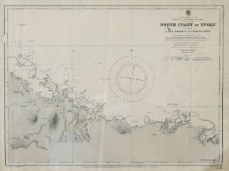
Navigation chart for the North Atlantic Ocean
Cartographer
Hydrographic Department of the Admiralty
Date1942
Object number00048109
NameChart
MediumInk on paper, linen
DimensionsOverall: 810 x 850 mm
ClassificationsMaps, charts and plans
Credit LineANMM Collection Gift from Nanette Hitchman
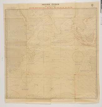
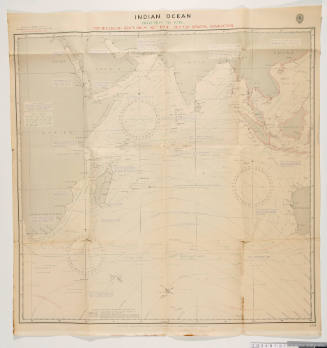
DescriptionThree Admiralty charts for the North Atlantic, South Atlantic and Indian Oceans and a table of courses to steer.HistoryThese three linen-backed Admiralty charts were published in 1942 for the North Atlantic, South Atlantic and Indian Oceans. With basic information and instructions on wind and currents, they were especially produced to be kept in lifeboats of Merchant Ships during World War II, for use by sailors when ships were sunk or abandoned. Navigational instructions are printed on the backs of the charts.
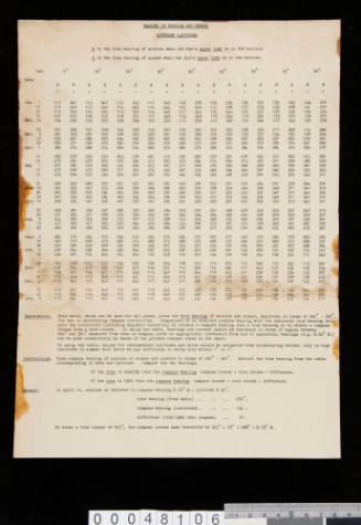
There is also a table of courses to steer 'Bearing of Sunrise and Sunset Northern Latitudes', produced in 1944.SignificanceThese navigational aids produced for lifeboat use during the Second World War are interesting examples of the often forgotten dangers faced by merchant sailors during the war. 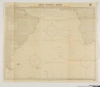
Hydrographic Office of the Admiralty
1920
Hydrographic Office of the Admiralty
1920