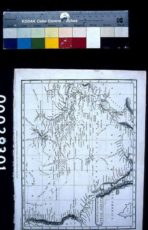
Pacific Ocean on Mercator's Projection
Publisher
Sherwood, Neely & Jones
Date1809
Object number00029301
NameMap
MediumInk on paper
DimensionsImage: 190 x 245 mm
Sheet: 215 x 268 mm
Overall: 215 x 268 mm, 0.008 kg
Sheet: 215 x 268 mm
Overall: 215 x 268 mm, 0.008 kg
ClassificationsMaps, charts and plans
Credit LineANMM Collection
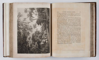
DescriptionMap titled 'Pacific Ocean on Mercator's Projection' drawn and engraved by H. Cooper, published by Sherwood, Neely and Jones.
The map depicts the Pacific Ocean with surrounding land masses including Australia (New Holland) and New Zealand with parts of their coastlines uncharted. The routes of Captain James Cook's three voyages in 1768-1771, 1772-1775 and 1776-1779 are shown. The map has been removed from a book 'Modern Geography' by Thomas Myer published 1810.
HistoryThis map of the Pacific which was drawn and engraved by H. Cooper and published in John Smith's A System of Modern Geography.
Seen as the world was known by Europeans in 1809 gaps in the knowledge of southern regions is clear. Most of south Australia is unchartered and the interior of 'New Holland' is unknown.SignificanceDefining the shape of Australia has taken centuries of painstaking surveying with Cook's three expeditions being the major development in the charting the Australian coastline and those of our neighbours in the Pacific and Indian Oceans.
Frank Trevor Jones
1913-1917