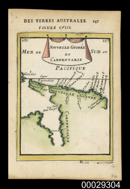

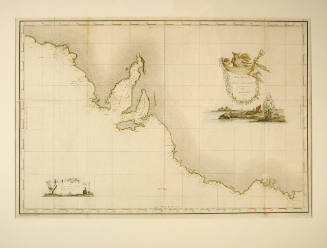
Nouvelle Guinee et Carpentarie
Cartographer
Alain Manesson Mallet
(French, 1630 - 1706)
Date1683
Object number00029304
NameMap
MediumInk on paper
DimensionsOverall: 203 x 135 mm, 0.003 kg
Image: 155 x 117 mm
Sheet: 203 x 135 mm
Image: 155 x 117 mm
Sheet: 203 x 135 mm
ClassificationsMaps, charts and plans
Credit LineANMM Collection
DescriptionHand coloured copper engraved map titled 'Nouvelle Guinee et Carpentarie'. This map has been removed from page 247 of ‘Des Terres Australes’ by Alain Manesson Mallet and is part of his monumental work ‘Description de l’Univers’ published in 1683.
The map shows New Guinea joined to Cape York in Australia (called Carpentarie on the map) leaving vague the relationship between New Guinea and the coastline of Carpentaria, indicating they were joined. At this time the Dutch were unaware that Torres had sailed through the strait now named for him.
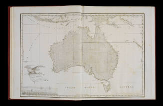
HistoryEarly European understandings of Australia focussed on defining its shape and coastlines but information was not shared between countries and it would be over 100 years until the first complete map of what became known as Australia was published.SignificanceDefining the shape of Australia has taken centuries of painstaking surveying. This map shows the gradual outline developing from the imaginative ideas of the 17th century that resulted to the actual definition of the 19th century.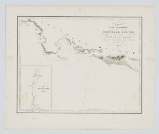
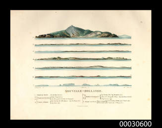
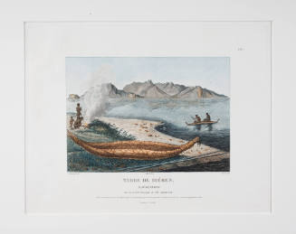
Charles Alexandre Lesueur
1807
Charles Alexandre Lesueur
1807
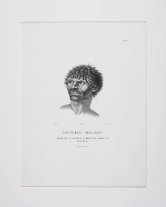
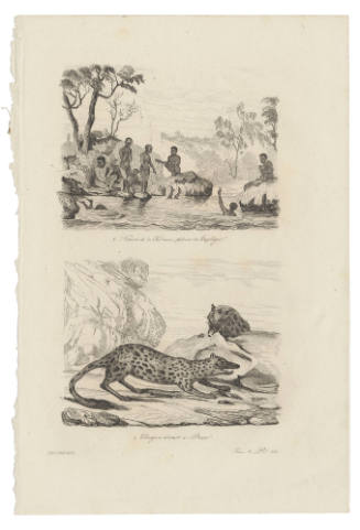
Louis Auguste de Sainson
1834