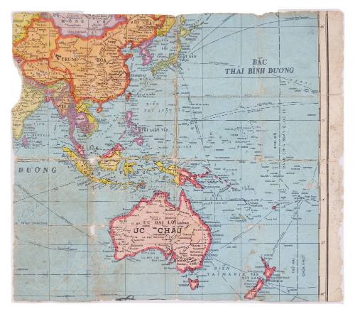
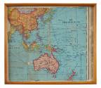

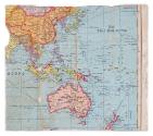
Bắc Thái Binh Dương (Northern Pacific Ocean) map
Date1974-1977
Object number00056209
NameMap
MediumPaper
DimensionsOverall: 267 × 310 mm
ClassificationsMaps, charts and plans
Credit LineAustralian National Maritime Museum Collection Gift from Captain Anthony Leonard Eccleston RAN
Collections
DescriptionMap titled 'Bắc Thái Binh Dương' (Northern Pacific Ocean).
This Vietnamese map was taken from a larger publication and then framed. There are several markers drawn on the paper, all of them close to Vietnam, and the area between Vietnam and Australia shows a large amount of wear and tear.
HistoryThis map is part of a series of maps that contain notes and improvised navigational information for a journey by boat beginning in Vietnam or one of its neighbouring countries and ending in Darwin, Australia. Most of the maps are either hand drawn or repurposed from other charts, which were not supposed to be used for real navigation. Using them to brave the long and arduous journey to Australia would have been a risky and challenging endeavour.
The refugee vessel TU DO, which is in the possession of the Australian National Maritime Museum, arrived in the same year that these maps were either created or used. Its owner also used a map from a school atlas to bring more than 30 people to Australia.
SignificanceThese maps belong to a rare type of object: improvised navigational instruments that were not destroyed or forgotten after the journey they were used on ended. Very few seem to have survived.
The owner of the refugee vessel TU DO, which arrived in the same year that these maps were either created or used, also used only a page from a school atlas for navigation. TU DO is now in the possession of the Australian National Maritime Museum.
![Map of India [Northern part]](/internal/media/dispatcher/169123/thumbnail)