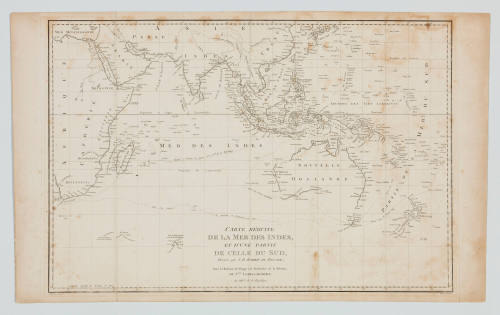
Carte reduite de la Mer des Indes et d'une partie de celle du Sud
Maker
D'Houdan and Dien
Author
Jacques Julien Houton de Labillardiere
(French)
Date1800
Object number00008706
NameChart
MediumInk on paper
DimensionsOverall: 478 x 710 mm
ClassificationsMaps, charts and plans
Credit LineANMM Collection Gift from Cabinet of Discoveries
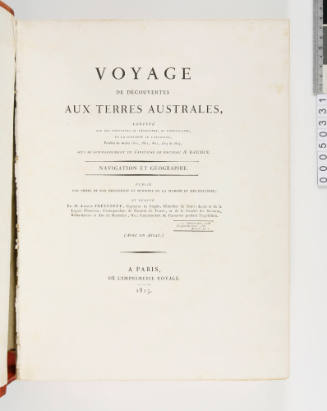
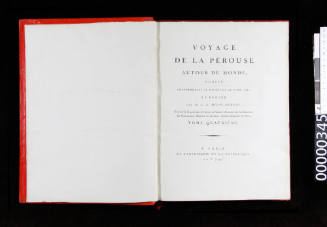
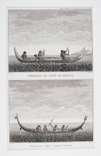
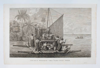
DescriptionMap of the Indian and Southern oceans titled 'Carte reduite de la Mer des Indes, et d'une partie de Celle du Sud, dressee par J. Barbie du bocage; pour la Relation du Voyage a la Recherde de la Perouse, du cen. Labillardiere an VIIIeme de la Republique'. Prepared for the 'Atlas Pour Servir a la Relation du Voyage a la Recherche de La Perouse' by Jacques Julien Houton de Labillardiere in the 8th year of the Republic (1800).
This chart, showing the Indian Ocean or 'Sea of India', appeared in Citizen Labillardiere's Atlas published in 1800 as a result of his voyage with Bruny D'Entrecasteaux in search of LaPerouse.
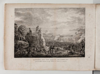
HistoryFrom 1791 to 1793 Jacques Labillardiere was botanist on the expedition commanded by Admiral Joseph-Antoine Bruny d'Entrecasteaux sent to search for the missing French explorer La Perouse. The expedition was also ordered to conduct scientific work and surveys of the countries they visited.
Stopping briefly at the Cape of Good Hope, the expedition's two ships RECHERCHE and ESPERANCE continued to southern Tasmania. During the following years d'Entrecasteaux searched the western Pacific - actually sighting Vanikoro Island in the Solomons (where La Perouse's ships were wrecked) but not stopping there. Although he was unable to locate the missing ships during the expedition d'Entrecasteaux conducted important scientific research and exploration of the Pacific, western Australia and Tasmania. However by 1793 many of the ship's crew were sick and dying including d'Entrecasteaux, who died of scurvy in July. The remaining expedition sailed to Surabaya in the Dutch East Indies where they learnt the French King had been executed and the newly formed Republic of France was at war. At the time many of the expedition papers were captured by the British.
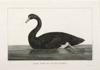
Jacques Labillardiere returned to France in 1796 and his 'Voyage in search of La Perouse' detailing the d'Entrecasteaux expedition was first published in 1800. It offers an account of the natural history and ethnography of the countries d'Entrecasteaux visited. In 1804-1807 Labillardiere also published 'Novae Hollandiae Plantarum Specimen', the most comprehensive account of the Australian flora to that time.
SignificanceThis map shows the increased knowledge of the southern hemisphere by the late eighteenth century and a widespread interest and competiveness by Britain and France in exploring the region.
Nicholas-Andre Monsiau
1817