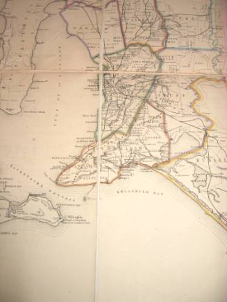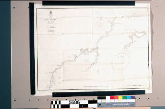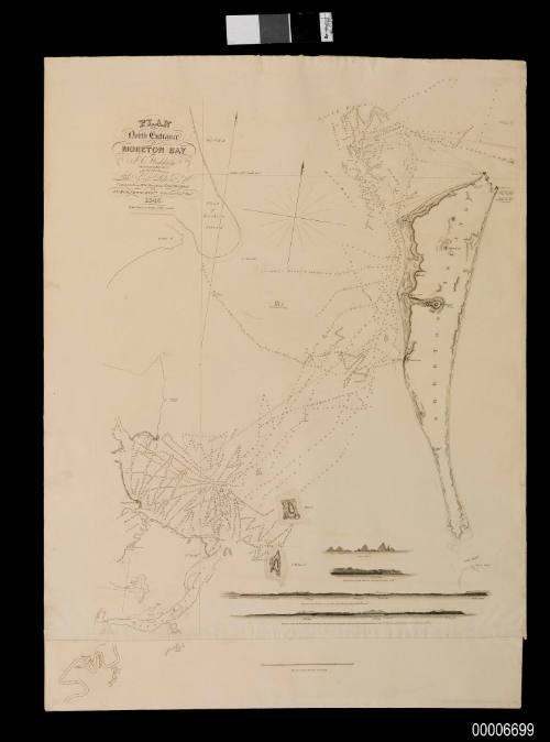
Plan of the North Entrance into Moreton Bay
Engraver
John Carmichael
Date1846
Object number00006699
NameMap
MediumInk on paper
DimensionsOverall: 865 x 640 mm
ClassificationsMaps, charts and plans
Credit LineANMM Collection
DescriptionThis survey of the north entrance to Moreton Bay was commissioned by the free settlers of the Brisbane River settlement in 1846 to identify a safe shipping channel to the settlement. The work was undertaken by J C Wickham, the former Commander of HMS BEAGLE.
HistoryMoreton Bay, bordered by Bribie Island to the north, Stradbroke Island to the south, and present-day Brisbane to the west, was named by Cook in 1770 after James Douglas, Earl of Morton, President of the Royal Society 1764-1768. Following European settlement it became a penal settlement from 1824 to 1842. In 1842 the penal settlement was closed and John Clements Wickham was appointed Police Magistrate. Wickham had previously served in the Royal Navy aboard HMS BEAGLE in South America, rising to command the vessel in Australian waters (1839-41).
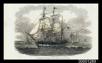
Launched in Plymouth in 1822, the 161-ton HMS BRAMBLE took part in three surveys of the Australian coast. Under the command of Charles Bampfield Yule, BRAMBLE served as the tender to HMS FLY during 1842-1846 surveys, and to HMS RATTLESNAKE during surveys between 1846-1850. BRAMBLE also served as tender to HMS CALLIOPE during 1855-1859 survey work. The BRAMBLE ended its days as a light ship moored on the Sow and Pigs shoal at the entrance to Sydney Harbour.
SignificanceThis is the first published chart of Moreton Bay, surveyed by a former commander of HMS BEAGLE John Clements Wickham. It is a significant record of the Moreton Bay area shortly after the establishment of a free settlement at the former penal colony.