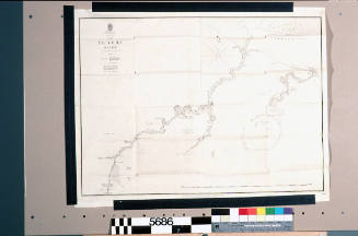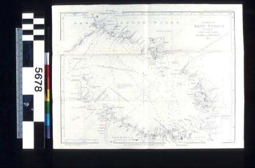
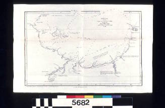
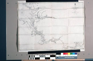
Chart of Bass Strait Surveyed by Captain J Lort Stokes and the Officers of HMS BEAGLE, 1843
Publisher
John Arrowsmith
(English, 1790 - 1873)
Date1846
Object number00005678
NameChart
MediumInk on paper
DimensionsOverall: 266 x 347 mm
ClassificationsMaps, charts and plans
Credit LineANMM Collection
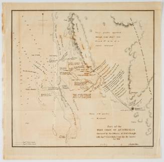
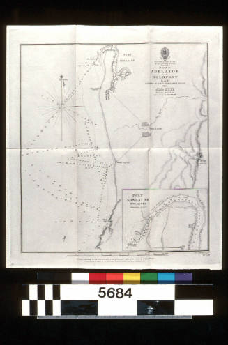
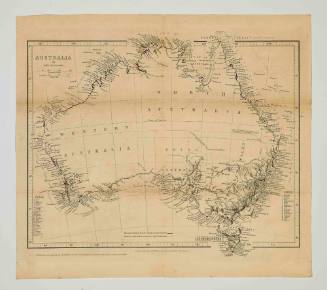
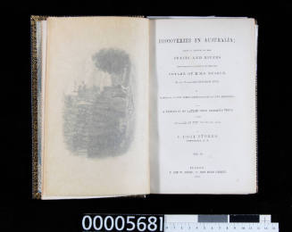
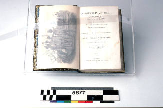
DescriptionChart of Bass Strait surveyed by Captain J. Lort Stokes and the officers of HMS BEAGLE, 1843. The map is from 'Discoveries in Australia, with an Account of the Coast and Rivers Explored and Surveyed During the Voyage of HMS BEAGLE', Volume 1, by John Lort Stokes.
Published by John Arrowsmith 18 Feb 1846, London.
Hydrographic Office of the Admiralty
1846
Hydrographic Office of the Admiralty
1845