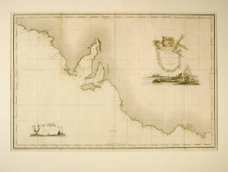
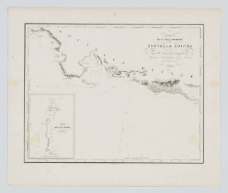
Carte de la Nouvelle Galles Méridionale, ou de la Cote Orientale de la Nouvelle Hollande decouverte et visite par le Lieutenant J Cook, Commandant de l' ENDEAVOUR, vaisseau de sa Majeste en 1770
Engraver
Robert Bénard
(1734 -)
Subject or historical figure
Captain James Cook
(English, 1728 - 1779)
Date1775
Object number00000860
NameChart
MediumInk on paper
DimensionsOverall: 410 x 823 mm
ClassificationsMaps, charts and plans
Credit LineANMM Collection
DescriptionThis reproduction of James Cook's survey of the eastern coast of Australia was created in France in 1775, most likely as part of the French version of Hawkesworth's publication of the ENDEAVOUR journals. It shows the route of the ENDEAVOUR in 1770 along the eastern seaboard from the first sighted land at Point Hicks to the tip of Cape York in the north. The chart's title in English is 'Map of New South Wales, or the east coast of New Holland, discovered and visited by Lieutenant Cook, commander of His Majesty's ship the ENDEAVOUR in 1770'.HistoryJames Cook's first Pacific voyage on the ENDEAVOUR was most significant for the charting of the previously unknown eastern coast of what was then called New Holland.
Cook's famous journey began in 1768, bound for Tahiti in order to observe the Transit of Venus. His orders also provided for charting the coasts of New Zealand and searching for a supposed undiscovered continent in the southern latitudes of the Pacific Ocean.
After Tahiti, the ENDEAVOUR sailed to New Zealand and then New Holland. Point Hicks was sighted on 20 April 1770. Cook headed north toward Batavia and landed at Botany Bay on the 29 April. The ENDEAVOUR narrowly escaped being wrecked on the Great Barrier Reef, but by August 1770 had reached Torres Strait. The 2,000 miles of coastline surveyed are included on this map.
This map appears to be plate 16 from volume 3 of a French translation of John Hawkesworth's popular - An Account of the Voyages Undertaken by the order of His present Majesty, for Making Discoveries in the Southern Hemisphere, and Successively Performed by Commodore Byron, Captain Wallis, Captain Carteret, and Captain Cook - published in England in 1773 and first published in France in 1774.
SignificanceJames Cook's 1770 survey of the eastern coast of Australia is one of the most important documents in British exploration. This is a French copy produced in 1775.
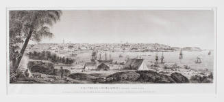
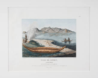
Louis Auguste de Sainson
1833
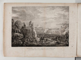
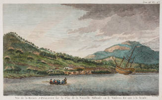
Charles Alexandre Lesueur
1807
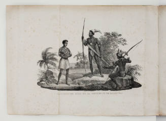
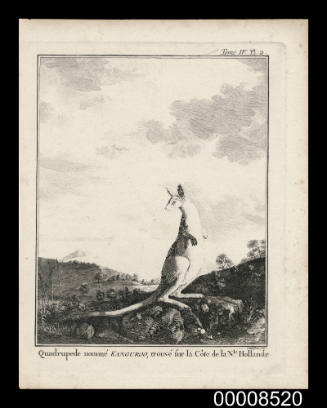
Charles Alexandre Lesueur
1807