Skip to main content
Collections
People
Sites
Related publications
Historic events
Thesaurus
Advanced Search
John Arrowsmith
Close
Refine Results
Artist / Maker / Culture
John Arrowsmith
(5)
T&W Boone
(2)
Classification(s)
Maps, charts and plans
(5)
Date
to
Collection focus areas
Exploration and Colonisation
(5)
Image Available
Sort:
Title (A–Z)
Title (Z–A)
Date (Older First)
Object number (Ascending)
Primary Maker (A-Z)
Last Updated (Ascending)
List
Images
Table
Filters
View PDF
5 results
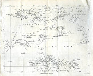
Arafura Sea Partly from the survey of Captain Owen Stanley
T&W Boone
1846
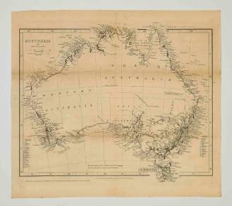
Australia by John Arrowsmith
John Arrowsmith
1846
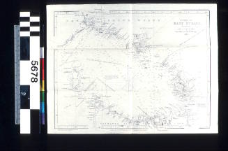
Chart of Bass Strait Surveyed by Captain J Lort Stokes and the Officers of HMS BEAGLE, 1843
John Arrowsmith
1846
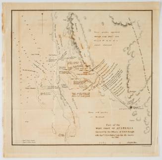
Part of the west coast of Australia Survey by the officers of HMS BEAGLE with Captain J Lort Stokes' route into the interior December 1841
John Arrowsmith
1841
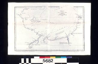
Southern Part of the Gulf of Carpentaria Surveyed by Captain J Lort Stokes, and the Officers of HMS BEAGLE 1841
T&W Boone
1846
Next Page