Skip to main content
Collections
People
Sites
Historic events
Related publications
Thesaurus
Advanced Search
Search
Objects
(1,583)
People
(15)
Close
Refine Results
Artist / Maker / Culture
Clement Adrien Vincendon-Dumoulin
(4)
Lieutenant Henry Roberts
(1)
Sir Lionel Hooke
(1)
August Heinrich Petermann
(1)
Classification(s)
*
Maps, charts and plans
(8)
Date
to
Collection focus areas
Exploration and Colonisation
(7)
Australian - American Maritime Relations
(1)
Image Available
Sort:
Relevance
Title (A–Z)
Date (Older First)
Object number (Ascending)
Primary Maker (A-Z)
Last Updated (Ascending)
List
Images
Table
Filters
View PDF
8 results for
antarctic
Result type
Objects
People
Maps, charts and plans
Clear All Filters
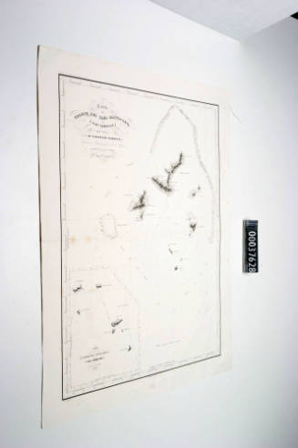
Carte de Groupe des Iles Manga - Reva (Iles Gambier)
Clement Adrien Vincendon-Dumoulin
1838
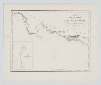
Carte de la Cote Sud-Ouest de la Nouvelle Guinee
Clement Adrien Vincendon-Dumoulin
1838
Carte de l' Archipel Viti
Clement Adrien Vincendon-Dumoulin
1838
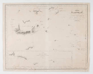
Carte des Iiles Salomon
Clement Adrien Vincendon-Dumoulin
1838
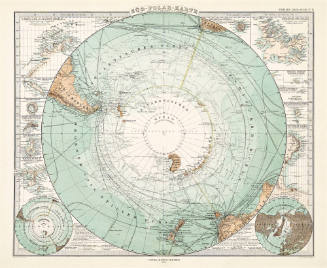
Süd-Polar-Karte
August Heinrich Petermann
1876
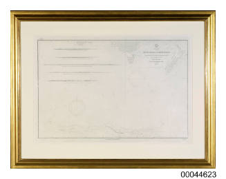
Chart of the coast of Antartica produced by the US Exploring Expedition between 1838 and 1842
1915
Image Not Available
for Handmade Map of Ross Island South Victoria Land and the Ross Barrier Surface
Handmade Map of Ross Island South Victoria Land and the Ross Barrier Surface
Sir Lionel Hooke
1915
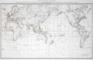
A General Chart: Exhibiting the Discoveries made by Captain James Cook in this and his two preceding voyages; with the tracks of the ships under his Command
Lieutenant Henry Roberts
c 1784
Next Page