Skip to main content
Collections
People
Sites
Historic events
Related publications
Thesaurus
Advanced Search
Search
Objects
(2,640)
People
(16)
Historic events
(4)
Close
Refine Results
Artist / Maker / Culture
Captain James Cook
(3)
Lieutenant Henry Roberts
(2)
Shell Australia Limited
(1)
Richard Bentley
(1)
James Barlow
(1)
J Russell
(1)
Sherwood, Neely & Jones
(1)
Depot General de la Marine
(1)
Michael Lane
(1)
M Fortin
(1)
Load all
Artist / Maker / Culture
Classification(s)
*
Maps, charts and plans
(19)
Date
to
Collection focus areas
*
Exploration and Colonisation
(19)
Image Available
Sort:
Relevance
Title (A–Z)
Date (Older First)
Object number (Ascending)
Primary Maker (A-Z)
Last Updated (Ascending)
List
Images
Table
Filters
View PDF
19 results for
james%20cook
Result type
Objects
People
Historic events
Maps, charts and plans
Exploration and Colonisation
Clear All Filters
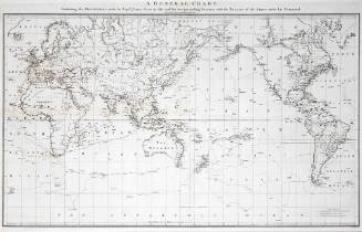
A General Chart: Exhibiting the Discoveries made by Captain James Cook in this and his two preceding voyages; with the tracks of the ships under his Command
Lieutenant Henry Roberts
c 1784
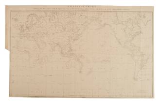
A General Chart: Exhibiting the Discoveries made by Captn. James Cook in this and his two preceding voyages with trails of the ships under his command
Lieutenant Henry Roberts
1784
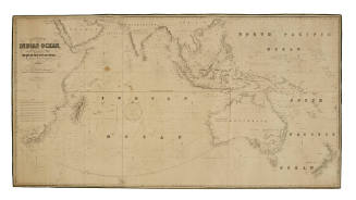
The Indian Ocean and the Whole Navigation between the Cape of Good Hope and China, Australia, New Zealand, etc
James Imray
1853
Carte de la Nouvelle Galles Méridionale, ou de la Cote Orientale de la Nouvelle Hollande decouverte et visite par le Lieutenant J Cook, Commandant de l' ENDEAVOUR, vaisseau de sa Majeste en 1770
Robert Bénard
1775
Pacific Ocean on Mercator's Projection
Sherwood, Neely & Jones
1809
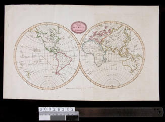
Map of the World from the Best Authorities
James Barlow
1807
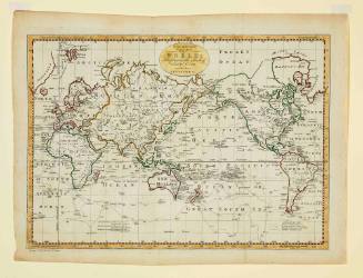
A New and Complete Chart of the World Displaying the Tracks of Captain Cook and other Modern Navigators
Thomas Bowen
c 1784
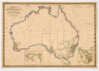
Map of Australia compiled from the Nautical Surveys Made by Order of the Admiralty, and other authentic documents by John Wyld Geographer to the Queen
James Wyld
1841
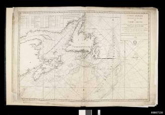
Newfoundland, St Pierre, Miquelon, 1763 - 1782
Captain James Cook
1784
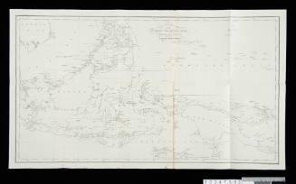
Chart of the Indian Archipelago showing the track of HM Ship MAEANDER
J & C Walker
1853
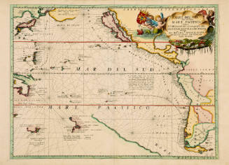
Mare Del Sud detto altrimenti Mare Pacifico
Vincenzo Maria Coronelli
1696
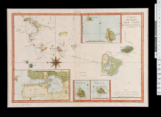
Carte des Isles des Amis (Chart of the Friendly Isles)
Rigobert Bonne 1727-1795
1790
Van Dieman's Land, drawn up after Swart's facimile of the official map made under Abel Janszoon Tasman's direction of his voyages to discovery of 1642 and 1644
L van der Vegtedal
1898
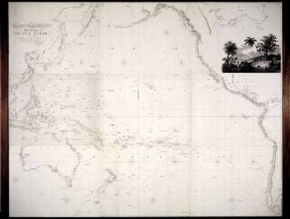
Chart of the Pacific Ocean
Aaron Arrowsmith
1814
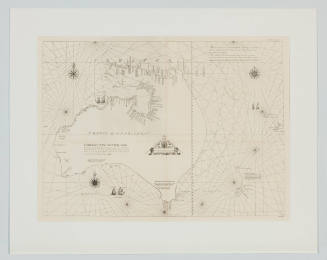
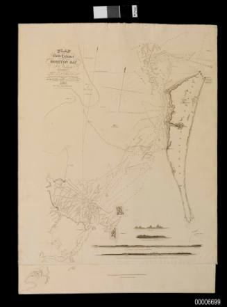
Plan of the North Entrance into Moreton Bay
Commander J C Wickham
1846
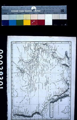
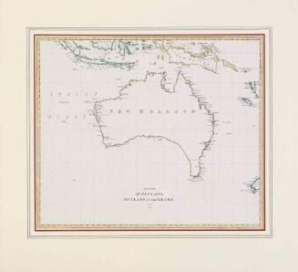
Map for Mr. Pennants Outline of the Globe Vol. IV
Thomas Pennant (1726-1798)
1800
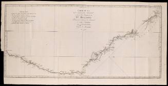
A Chart of the Straights [sic] of Magellan
J Russell
1773
Image Not Available
for Shell Australia : Bicentenary 1770 - 1970 : His Majesty's Bark ENDEAVOUR
Shell Australia : Bicentenary 1770 - 1970 : His Majesty's Bark ENDEAVOUR
Shell Australia Limited
1970
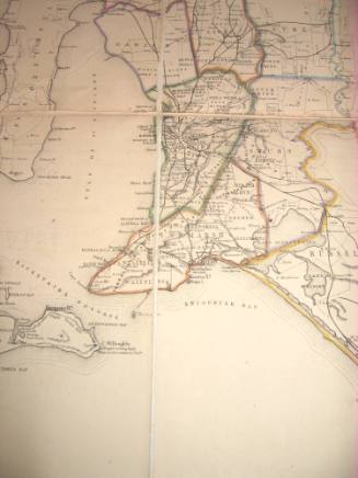
Map of the settled districts of South Australia, 1856
1856
Next Page
![A Chart of the Straights [sic] of Magellan](/internal/media/dispatcher/55846/thumbnail)