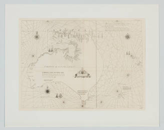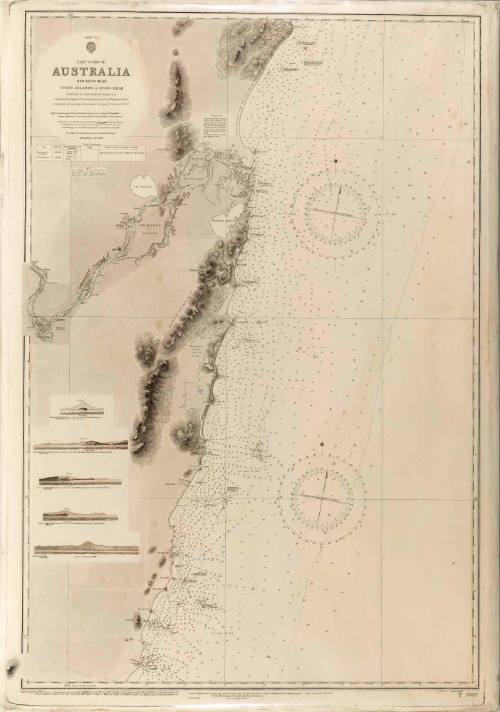
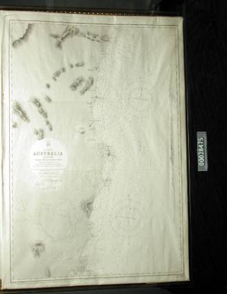
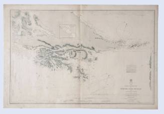
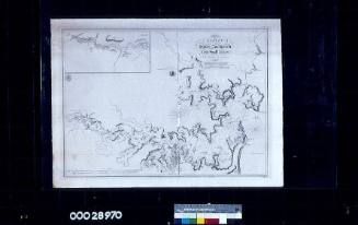
East Coast of Australia: Tacking Point and Coffs Islands to Evans Head
Cartographer
Commander Frederick W Sidney
Publisher
Hydrographic Office of the Admiralty
Date1866
Object number00028474
NameChart
MediumInk on paper
DimensionsOverall: 980 x 670 mm, 0.2 kg
ClassificationsMaps, charts and plans
Credit LineANMM Collection Transfer from Department of Customs and Excise
Terms
Commander Frederick W Sidney
1953
Commander Frederick W Sidney
1866-1954
29 January 1949
September 1902
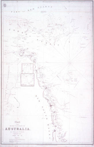
Admiral Phillip Parker King
1829