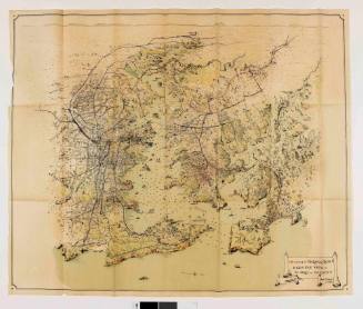
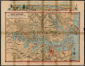
Port Jackson and Middle Harbour also Parramatta and Lane Cove Rivers
Publisher
Higinbotham & Robinson
Date1893
Object number00017919
NameMap
MediumInk on paper, cloth, leatherette
DimensionsOverall: 51 x 118 mm, 0.15 kg
ClassificationsMaps, charts and plans
Credit LineANMM Collection
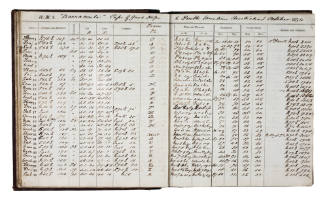
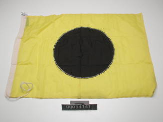
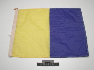
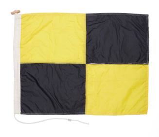
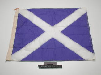
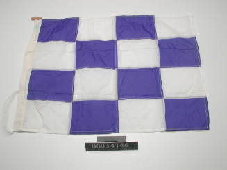
DescriptionBook of two maps and page of maritime infiormation contatined in a leather cover with title reading 'Map of Port Jackson, &c, 1893'. First page contains information relating to storm signals and general signals, mail steamer and other companies or house flags of vessels trading to Port Jackson, flags used at signal stations and mail signals used on flagstaff of general post office. Also contains information of sailing clubs.
SignificanceAn early and rare example of views and information concerning Port Jackson andthe use of its waterways and harbours, including navigable channels, wharves and jetties, headlands, bays and suburbs. Interesting contrast with the maps produced the following century by the Sydney Harbour Trust.
Higinbotham & Robinson
1893