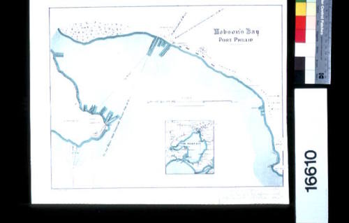
Hobson's Bay, Port Phillip
Datec 1872
Object number00016610
NameMap
MediumInk on paper
DimensionsOverall: 304 x 385 mm
ClassificationsMaps, charts and plans
Credit LineANMM Collection
DescriptionMap titled 'Hobson's Bay Port Phillip' showing the coastline of Hobson's Bay with a square detail insert of Port Phillip Bay. The map shows the positions of harbour defences around Melbourne and wharf the facilities.
HistoryThis map of Hobsons Bay, Port Phillip, Melbourne (with an inset map of Port Phillip) by John Arrowsmith was originally published in 1872 for The Colonial Office Parliamentary Papers, London. It is after a marine survey of Port Phillip Bay and Hobson's Bay by Commader Ross R.N. in 1858.
Arrowsmith was responsible for producing many of the early exploration maps of Australia for the Colonial Offices and government publications as well as the Royal Geographic Society.
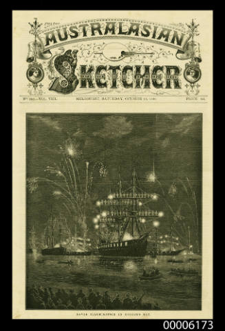
1856 - 1857
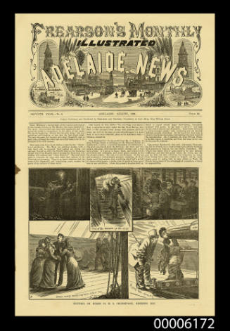
Frearson's Monthly Illustrated Adelaide News
August 1881
1922 - 1936
1922 - 1936
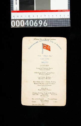
25 December 1923