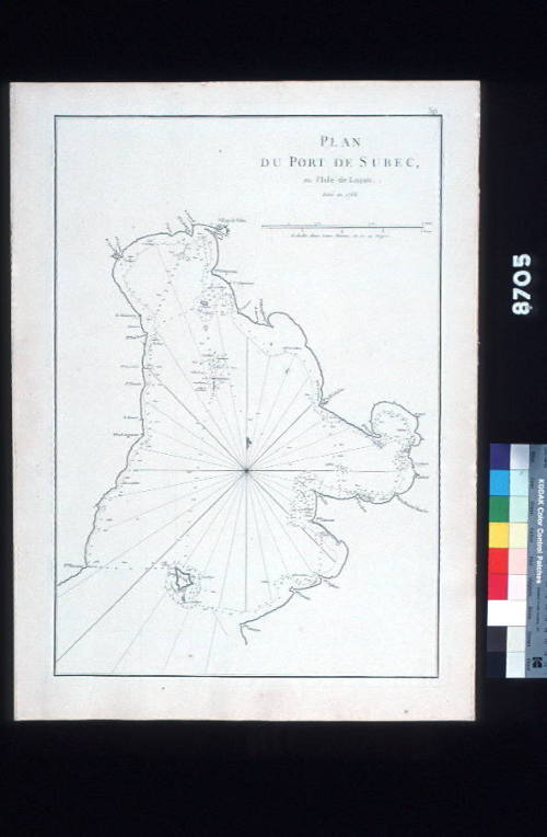
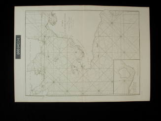
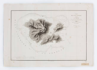
Plan du Port de Subec en I'isle de Lucon
MakerAfter
Alexander Dalrymple
(British, 1737 - 1808)
Date1766
Object number00008705
NameChart
MediumInk on paper
DimensionsOverall: 485 x 330 mm
ClassificationsMaps, charts and plans
Credit LineANMM Collection Gift from Cabinet of Discoveries
DescriptionA chart of Subic Bay on the Island of Luzon in the Phillipines. Titled 'Plan du Port de Subec, en l'Isle de Lucon' with 'leve en 1766' beneath.
Taken from the the book 'Le Neptune Oriental'.
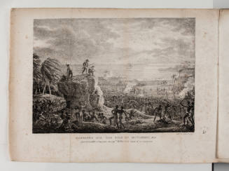
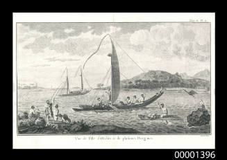
Admiral François-Edmond Pâris
1841-1843
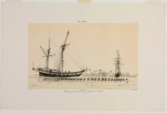
Archives du Muséum d'Histoire Naturelle, Paris
c 1861
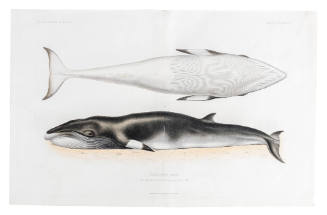
Victor Amadee Gressien
1936