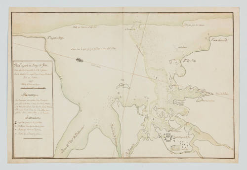
Plan du Port et Baye de Flac, situe a la cote orientalle de lsle de France
Date1776
Object number00008711
NameChart
MediumPencil, ink, watercolour paint, paper
DimensionsOverall: 540 x 814 mm, 0.05 kg
ClassificationsMaps, charts and plans
Credit LineANMM Collection Gift from Cabinet of Discoveries
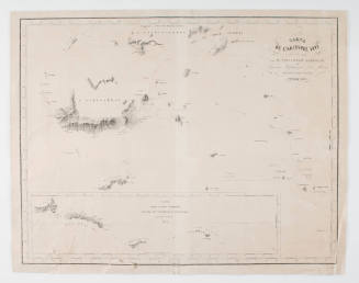
DescriptionA map titled 'Plan du Port et Baye de Flac, situe a la cote orientalle de lsle de France. Pau la latitude de vingt degres doure minuter s. Leve en Octobre 1776. Eshelles oi deux ioiser' ('Plan of the Port and Bay of Flac, situated on the east coast of Mauritius').
HistoryMauritius was first visited by the Dutch in 1598 but subsequent settlements and commercial efforts by them over the next century did not meet with success. The island was eventually abandoned but later settled by the French East India Company in 1721 and renamed 'Isle de France'.
The French company carried out extensive work on the island including buildings, fortifications and sugar plantations. Most of this work was carried out by African slave labour and resulted in Isle de France becoming a profitable colony for the company. In 1767 the French East Indies Company sold Isle de France and the control of island was transferred to the French government until 1814 the when British took control and restored the name Mauritius.
SignificanceThis hand drawn chart of a small port on the east coast of the Indian Ocean island of Mauritius is significant as an example of chart technology in the late 18th century.
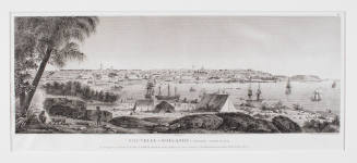
Victor Amadee Gressien
1936
![Carte des Indes Orientale [Map of the East Indies]](/internal/media/dispatcher/238516/thumbnail)
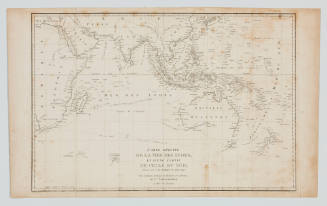
Admiral François-Edmond Pâris
1841-1843