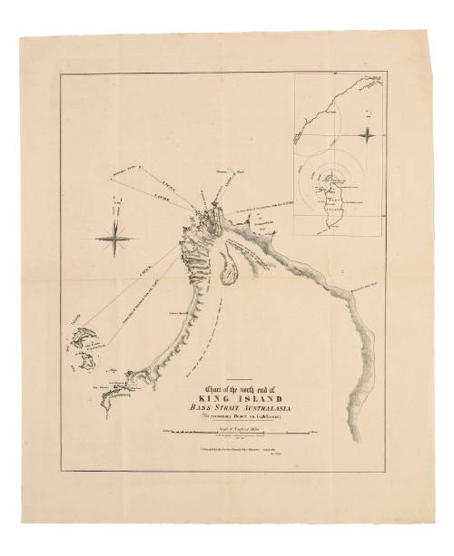
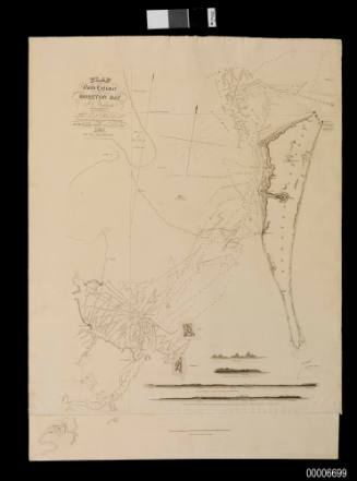
Chart of the North End of King Island, Bass Strait, Australasia to accompany Report on Lighthouse
Date1856
Object number00004085
NameChart
MediumInk on paper
DimensionsOverall: 745 x 450 mm
ClassificationsMaps, charts and plans
Credit LineANMM Collection
DescriptionThis map was produced as part of a report on the establishment of a lighthouse at Cape Wickham on King Island.HistoryThis map was produced as part of an 1855 government report on lighthouses in Bass Strait. It shows the proposed location of a lighthouse on Cape Wickham.
The Cape Wickham Lighthouse, built in 1861 at the northern tip of King Island in Bass Strait, marks the southern end of the so-called 'Eye of the Needle' - the dangerous narrow western entrance to Bass Strait. King Island and Cape Otway in Victoria were usually the first landfalls for ships coming from the Cape of Good Hope to Australia.
The treacherous islands in the strait have claimed hundreds of ships and more than a thousand lives.There were several ships wrecked on or near both headlands before the establishment of lighthouses. This map shows the wrecks of the Schooner ELIZABETH and the Schooner AGNES.
The 1835 loss of the NEVA with 225 lives - mainly convict women and children - brought little reaction from colonial authorities. However unlike the NEVA, the CATARAQUI traveling from England to Melbourne in 1845 was full of immigrants. The handful of survivors watched hundreds of women and children clinging to the wreckage disappear in the rough seas over several days.
Regarded as Australia's largest civil maritime disaster, the loss of 399 lives on the CATARAQUI lead to the establishment of the Cape Wickham Lighthouse, the tallest lighthouse in Australia. Still, even well after the lights began operating there were several disasters, as some vessels mistook Cape Wickham for Cape Otway.
SignificanceThis map is associated with the establishment of Australia's tallest lighthouse and the infamous loss of the immigrant ship CATARAQUI in 1845.
Wm Menzies & Co Consulting Engineers
10 June 1891
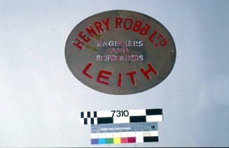
Henry Robb Limited Engineers and Shipbuilders
1959
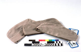
Adjustable Engineers Cap Company
1939-1945
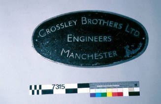
Crossley Brothers Limited Engineers
1974-1979
J W Norie and Company
1832