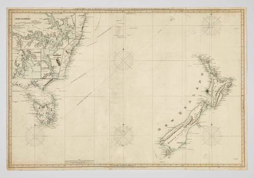
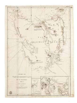
Chart of part of New South Wales, Van Diemens Land, New Zealand and adjacent islands
Cartographer
John William Norie
(1772 - 1843)
Publisher
J W Norie and Company
(1813 - 1843)
Date1837
Object number00050680
NameChart
MediumInk on paper
DimensionsOverall: 635 x 930 mm
ClassificationsMaps, charts and plans
Credit LineANMM Collection
DescriptionFirst published in 1819, this chart of the Tasman Sea shows shipping routes from Hobart, Sydney and through Bass Strait. It was published and sold by the English firm of J W Norie and shows signs of good use.HistoryBorn in London in 1772, John William Norie was a prominent chartmaker and writer on navigation. He started his career working for chartmaker William Heather and by the age of 25 was producing his own charts. William Heather ran the Naval Warehouse and sold nautical instruments, charts and instructional texts on navigation. The business was taken over by Norie after Heather's retirement (J.W. Norie and Co founded 1813). After his death in 1843, the company became Norie and Wilson, then Imray, Laurie, Norie & Wilson in 1903.
SignificanceThis 1837 chart is significant as a representation of the evolution of cartographic information relating to the seaways leading to the burgeoning ports of Australia's east coast during the early 19th century.
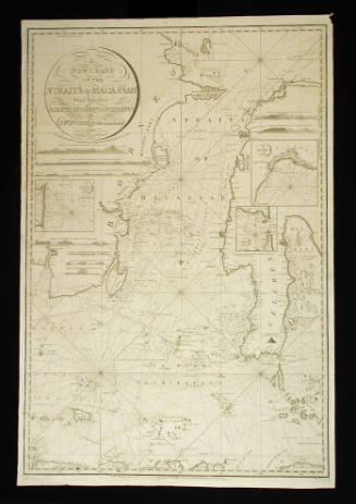
J W Norie and Company
1832

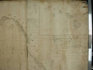
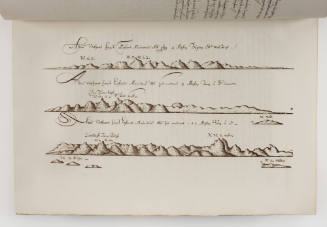
![Illustrations to Prinsep's journal of a voyage from Calcutta to Van Diemen's Land from original sketchs taken during the years 1829 to 1830. [Part 1].](/internal/media/dispatcher/221357/thumbnail)
Elizabeth Prinsep (Mrs Augustus Prinsep)
1833
![Illustrations to Prinsep's journal of a voyage from Calcutta to Van Diemen's Land from original sketchs taken during the years 1829 to 1830. [Part 2]](/internal/media/dispatcher/221360/thumbnail)
Elizabeth Prinsep (Mrs Augustus Prinsep)
1833