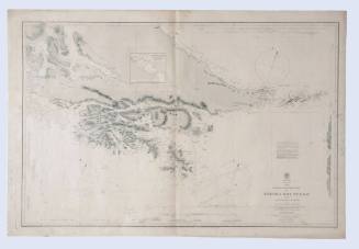
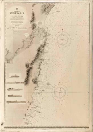
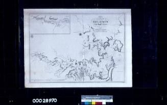
Chart of the east coast of New South Wales from Tacking Point to Coffs Islands
Cartographer
Commander Frederick W Sidney
Engraver
P L Hemming
Publisher
Hydrographic Office of the Admiralty
Date1953
Object number00028475
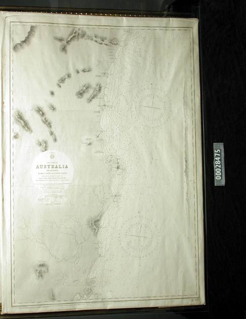
NameChart
MediumInk on paper
DimensionsOverall: 1317 x 1005 mm, 0.2 kg
Image: 980 x 670 mm
Image: 980 x 670 mm
ClassificationsMaps, charts and plans
Credit LineANMM Collection Transfer from Department of Customs and Excise
Terms
Though subsequently amended over the years, 1924 - 1953, they still show the reliability and accuracy of the initial surveys in their use 100 years later.
Commander Frederick W Sidney
1866
Commander Frederick W Sidney
1866-1954
1900-1940

Hydrographic Office of the Admiralty
1953