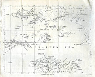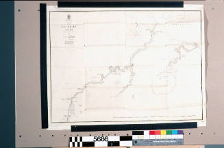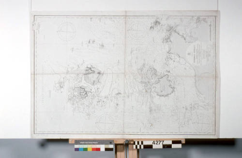
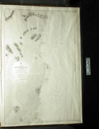
Admiralty Chart, Torres Strait, Australia
Publisher
The Admiralty
Date1893
Object number00004277
NameChart
MediumInk on paper
DimensionsOverall: 1000 x 680 mm
ClassificationsMaps, charts and plans
Credit LineANMM Collection
DescriptionThis Admiralty chart is details the hydrographic survey of part of the Torres Strait as surveyed by Captain Owen Stanley, Lieuts C.B. Yule, J. Dayman, H.G. Simpson, and Mr. Obree Master's Assistant in HMS RATTLESNAKE, 1848-49. Further corections to the initial survey include Normanby Sound and adjacent soundings by Captain J. F. L.P. Maclear, R.N. in HMS ALBERT in 1881; and from Alpha Rock to Turtle Head by Lieut G. Pirie and the officers of H.M. Surveying ship PALUMA in 1890-2.
The chart includes Jarvis Island, Mulgrave Island, Banks Island, Horn Island, Prince of Wales Islands and Endeavour Strait.
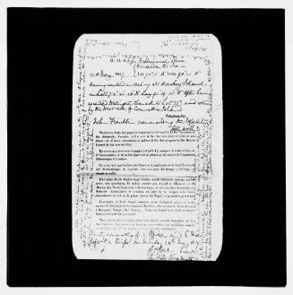
Commander Frederick W Sidney
1953