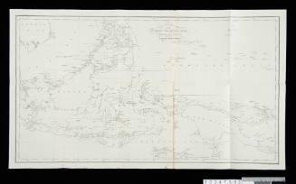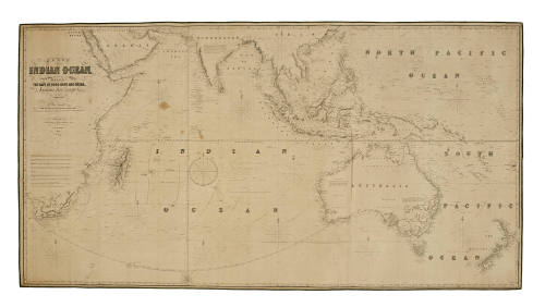
The Indian Ocean and the Whole Navigation between the Cape of Good Hope and China, Australia, New Zealand, etc
Cartographer
James Imray
Date1853
Object number00000023
NameChart
MediumInk on paper
DimensionsOverall: 1020 x 1914 mm
ClassificationsMaps, charts and plans
Credit LineANMM Collection
DescriptionMap published in London by James Imray & Son in 1853 titled 'A Chart of the Indian Ocean and the Whole Navigation Between the Cape of Good Hope and China, Australia, New Zealand, ect. Compiled from the Most Apprised Authorities, The Surveys Made by Order of the Hon. East India Company and Those of the British, French and Dutch Governments'.
James Imray was an important figure in publication prior to the Admiralty taking over the task. Most ships heading south would have taken this route.HistoryJames Imray was an important figure in London in the publication of charts prior to the Admiralty taking over the task. Whilst his companies work was not original in content, his success was in reformatting Admiralty and US Coast Surveys into forms more favourable to navigators.
This map of the Indian Ocean is an important reflection on the early history of routes to Australia.Most ships heading south at this time would have used this route.SignificanceJames Imray was an important figure in chart publication at a time when it was passing out of private hands and into the hands of the admiralty by the late 19th century. In the mid-19th century there were still firms privately producing charts. Imray's son, James Frederick, continued to produce commercial charts.