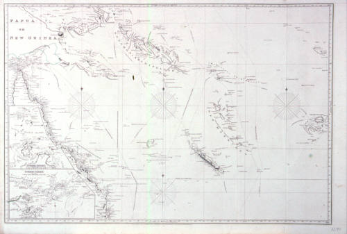
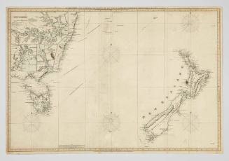
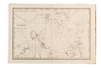
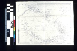
Chart of Torres Strait and the Coral Sea
Publisher
J W Norie and Company
(1813 - 1843)
Date1820
Object number00004276
NameChart
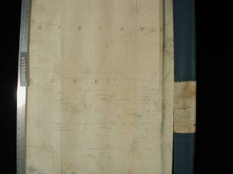
MediumInk on paper
DimensionsOverall: 670 x 980 mm
ClassificationsMaps, charts and plans
Credit LineANMM Collection
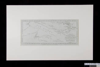
DescriptionThis chart has no title, but depicts the Torres Strait and Coral Sea in detail.HistoryThe islands of the Torres Strait have been inhabited for at least 2,500 years.
The first recorded European navigation of the strait was by Luis Váez de Torres on the Spanish expedition led by the Portuguese captain Pedro Fernandez de Quirós who sailed from Peru to the South Pacific in 1605. Torres sailed along the south coast of New Guinea. In 1769 Alexander Dalrymple discovered Torres' testimony proving a passage south of New Guinea, which assisted James Cook in 1770.
Several navigators including Matthew Flinders and Phillip Parker King surveyed the complex and treacherous shoals and islands in the strait between 1800 and 1820. In 1823 lieutenant John Lihou, master of the merchant ship ZENOBIA, negotiated a a route through Torres Strait from west to east, regarded as the first ship to navigate through to the Coral Sea from Torres Strait.
John William Norrie (1772-1843) hydrographer, worked on many charts during the early 19th century, particularly of the sea lanes and coastlines of northern Australia and South-East Asia. Several charts were dedicated to the East India Company. He established the prolific chart publication business J.W. Norrie & Co. at the Navigation Warehouse and Naval Academy, no. 157 Leadenhall St. London, from around 1800 to the 1840s.SignificanceThis map was made by well known cartographic publishers J W Norrie & Co and shows the extent of navigational knowledge of the Great Barrier Reef area around 1820.
J W Norie and Company
1832
John William Norie
1837
Commander Frederick W Sidney
1953