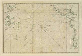
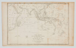
![Carte reduite de l'Ocean Oriental ou Mer des Indes [Reduced chart of the Eastern Ocean or Indian Sea]](/internal/media/dispatcher/169117/preview)
Carte reduite de l'Ocean Oriental ou Mer des Indes [Reduced chart of the Eastern Ocean or Indian Sea]
Maker
Jacques Nicolas Bellin
(French, 1703 - 1772)
Date1757
Object number00044378
DCMITypeStill image
NameChart
MediumInk on paper
DimensionsOverall: 630 × 890 mm
Image: 553 × 867 mm
Mount / Matt size (G Fini Mount): 900 × 1249 mm
Image: 553 × 867 mm
Mount / Matt size (G Fini Mount): 900 × 1249 mm
ClassificationsMaps, charts and plans
Credit LineANMM Collection
DescriptionThis hand-coloured chart by Jacques Nicolas Bellin was created for the French Hydrographic Office (Dépôt des Cartes et Plans de la Marine) and depicts the Indian Ocean, islands and surrounding coastlines. It served as a guide for mariners sailing between Australia and the East Indies.HistoryJacques-Nicolas Bellin (1703 - 1772) worked for the French Hydrographic Office (Dépôt des Cartes et Plans de la Marine) from its inception in 1720 until his death in 1772, rising to the post of Royal Hydrographer. Under his control the Hydrographic Office developed a reputation for the quality of its charts. This chart is dated 1757 and probably originally formed part of Hydrographie Francoise, published in two folio volumes between 1756 and 1765. Note that the Prime Meridian is based in Paris.
Relating to the western sea route to Australia and the East Indies, the chart provides a detailed depiction of the islands and continental coasts which formed the familiar landmarks for mariners sailing to and from the East Indies and Australia.SignificanceThe chart is an example of the high quality work produced by Jacques-Nicolas Bellin, appointed 'Hydrographer to the King' for the French Hydrographic Office. His work provided case studies for chart makers from many other countries, notably Alexander Dalrymple, the first hydrographer to the British Admiralty.
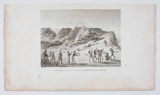
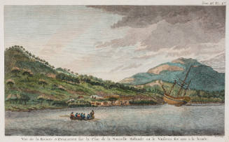
Jacques Etiene Victor Arago
1825
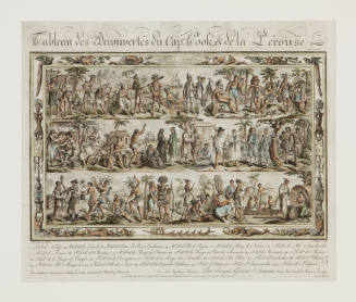

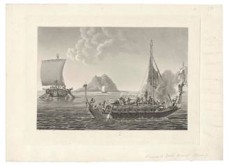
Jacques Etiene Victor Arago
1825
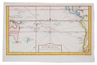
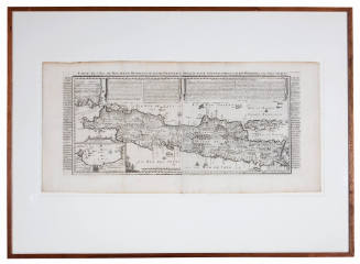
![Carte des Indes Orientale [Map of the East Indies]](/internal/media/dispatcher/238516/thumbnail)