Skip to main content
Collections
People
Sites
Historic events
Related publications
Thesaurus
Advanced Search
Expand
View PDF
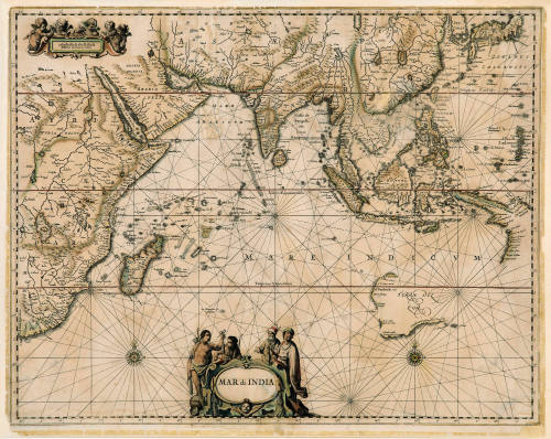
Mar di India
Previous
Next
Mar di India
Cartographer
Johannes Janssonius
(Dutch, 1588 - 1664)
Date
1650
Object number
00027902
Name
Map
Medium
Ink on paper
Dimensions
Image: 425 x 543 mm
Classifications
Maps, charts and plans
Credit Line
ANMM Collection Gift from R Gardner
Terms
charts
navigation
Exploration and Colonisation
Exploration and European Settlement
Paper - maps, charts and plans
Discover More
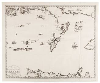
Kaart van de Zuyd-Ooster Eylanden van Banda
Johannes Van Braam
1724
Map of India [Northern part]
Parbury, Allen & Co.
1831
Map of India [Southern part]
Parbury, Allen & Co.
1831
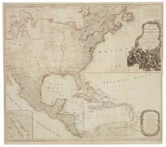
A New Map of North America with the West India Islands Divided According to the Preliminary Articles of Peace, Signed at Versailles 20 January 1783 Wherein are Particularly Distinguished The United States, and the Several Provinces Governments ect. Which Compose The British Dominions
1794
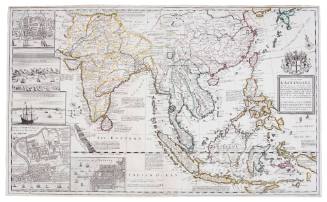
A Map of the East Indies and the adjacent Countries
Herman Moll
1715
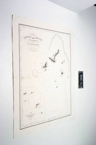
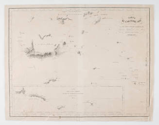
Carte de Groupe des Iles Manga - Reva (Iles Gambier)
Clement Adrien Vincendon-Dumoulin
1838
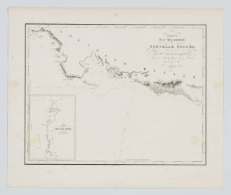
Carte de la Cote Sud-Ouest de la Nouvelle Guinee
Clement Adrien Vincendon-Dumoulin
1838
Carte de l' Archipel Viti
Clement Adrien Vincendon-Dumoulin
1838
Carte des Iiles Salomon
Clement Adrien Vincendon-Dumoulin
1838
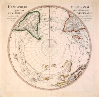
Hemisphere Meridional Pour Voir Plus Distictement Les Terres Australes
Guillaume de L'Isle
1714
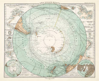
Süd-Polar-Karte
August Heinrich Petermann
1876
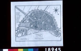
Plan of the City of Amsterdam
Samuel John Neele
1791
![Map of India [Northern part]](/internal/media/dispatcher/169123/thumbnail)
![Map of India [Southern part]](/internal/media/dispatcher/169122/thumbnail)