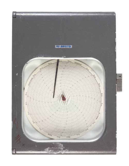
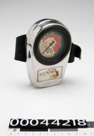
Tide Gauge
Tide Gauge

Tide Gauge

Date1940-2000
Object number00056053
NameGauge
MediumMetal
DimensionsOverall: 505 × 354 × 145 mm
ClassificationsTools and equipment
Credit LineAustralian National Maritime Museum Collection Gift from University of Sydney
DescriptionA tide gauge measures changes in sea level relative to a datum (a height reference). Alternative names include; sea-level recorder, mareograph, marigraph and limnimeter. They are fitted with sensors that continuously record the height of the surrounding water level. Before computers were available, tide monitoring was done by a specially built 'tide house' at the edge of the water. These houses protected a gauge inside connected to a stilling well thats sits partially in the water. Scientists would manually observe the tidal levels and compare it to measurements captured by an analog data recorder also inside the house.SignificanceTide gauge data is available on weather reports and keeps track of daily and monthly tide levels as well as overall sea level changes on a monthly basis for some sources. "Tide houses" have evolved into today's water level monitoring stations that use continuous sensors to measure water height. They now use acoustic and electronic based equipment that is minimal maintenance for the highest accuracy possible. Many coastal activities depend on this data including sound engineering, safe navigation and habitat restoration and preservation.

Shipping and fishing industries heavily rely on accurate tidal data to minimise harm and mishaps during their routes. It is of such importance that many industries globally have funded their own private tide gauges in addition to government agency installations. Scientists also use this data to monitor weather and sea level patterns and find correlations to trends especially regarding global warming.


A happy group of Austrians who will soon be 'New Australians'
Intergovernmental Committee for European Migration
1952-1958
HMS HOOD
1923 - 1924
Unidentified two storeyed house
William Frederick Hall
c 1880
The Admiralty Tide and Tidal Stream Tables for the year 1945
Hydrographic Office of the Admiralty
1919-1954
Spirit Level
1890-1950
Arrival 2011
Garth Lena
2011