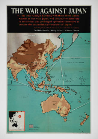
The war against Japan (Japanese & Pacific Map)
Maker
H M Stationery Office
Date1939 - 1945
Object number00009082
NamePoster
MediumInk on paper
DimensionsOverall: 330 x 460 mm
ClassificationsPosters and postcards
Credit LineANMM Collection Purchased with USA Bicentennial Gift funds
Terms
Her Majesty's Stationery office
1853

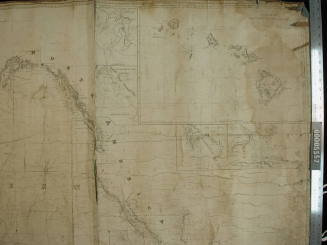

Hydrographic Office of the Admiralty
1942