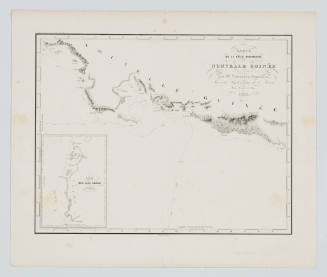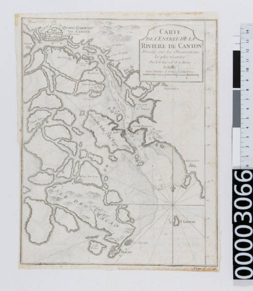
Carte de L'entree de la Riviere de Canton
Date1796
Object number00003066
NameChart
MediumPaper, printing ink
DimensionsOverall: 300 x 220 mm
Image: 260 x 210 mm
Image: 260 x 210 mm
ClassificationsMaps, charts and plans
Credit LineANMM Collection
Purchased with USA Bicentennial Gift funds
DescriptionThis map depicts the entrance to the Canton River and the Island of Macao.HistoryIn the early years following the American Revolution there was a demand for Chinese trade to supply manufactured products such as porcelain, silk and tea, which were not yet available in America. This meant that by the 1830s trade routes from America to China were well established. Prior to The First Opium War (1839-1842), Canton was the sole foreign trading port in China. The signing of the Treaty of Nanjing in 1782 at the end of the First Opium War between Britain and China, saw four other Chinese ports opened up to international trade. This meant that Canton's monopoly over foreign trade was reduced.
Macao, or Macau, is one of two Special Administrative Regions in China. Portuguese trader settlement in the 16th Century saw foreign trade flourish and Macao emerge as a major settlement. In 1886, China was forced to cede Macao to Portugal as part of the Sino-Portuguese Treaty of Amity and Commerce. In 1976 Portugal largely granted Macao economic and administrative autonomy and in 1999 China established formal sovereignty of Macao.SignificanceBefore photography, paintings and drawings of Macao, Canton and Hong Kong were the only illustrations of these exotic ports. These works depict unusual landscapes, walled cities and spectacular architecture, which helped to establish the Western vision of China as a land of silk, porcelain and tea.